
Trace a Philadelphia Street Directory
Philadelphia keeps the useful parts of a street trail in separate systems. The Office of Property Assessment begins with a parcel. Atlas adds a map position and linked City resources. The Department of Records then supplies the land-document path, while library directories can place a listed person at an address in an earlier period. These are evidence layers, not one live roster of everyone on a street.
Work from the most exact address available, including a directional prefix when it appears in the record. Save the official property address and identifiers before moving on. That prevents a similar street name, a changed number, or a mailing address from getting mixed into the same trail.
- Enter the address in the Philadelphia Property App and record the OPA account, Department of Records map identity, sales clue, and displayed parcel facts.
- Open the same property in Atlas to inspect its parcel geometry and links to City property, permit, zoning, inspection, and map resources.
- Use the current sale clue, document date, or party name in Philadox to locate the relevant deed rather than relying on the assessment display alone.
- For an eligible, lawful request, keep the controlled Pennsylvania voter Street List separate from the parcel trail. It is not an online street-browsing feature.
- For earlier listed households, move to address telephone books or Cole's reverse directories after checking the street form used in that period.
Note: A parcel owner, a deed party, a permit applicant, and a listed resident can be different people at the same address.
Philadelphia Street Directory Property Fields
The Philadelphia Property App is deliberately address-led. It does not provide an owner-name search. That design makes it useful for a known Philadelphia street address or a defined block, but not for creating a citywide list from a person’s name. Its documented controls are the practical starting points for a street-by-street review.
| Property App method | Accepted key | Street-directory use |
|---|---|---|
| Text search | Street address, OPA account, or DOR map-registry number | Normalizes a known location to the City parcel record |
| Block query | block: followed by an address | Returns properties on that block for parcel-by-parcel review |
| Map selection | Map click | Helps distinguish frontage, lots, and nearby parcels |
| Area tools | 250-foot radius or drawn boundary | Expands a location query to a finite parcel set |
The returned card can show City-described ownership, sales history, market value, physical characteristics, and address/account identifiers. Record what the card actually displays. An owner mailing address, if one appears on a particular record, is correspondence information and is not proof that the owner lives at the property.
- Parcel
- A mapped unit of land or property record used to tie an address to City assessment and map identifiers.
- Situs address
- The location of the land or building being assessed. It differs from a separate owner correspondence address.
- Legal description
- The lot, map, or premises language in a conveyance. It can remain useful when street names, numbers, or parcel lines change.
- Criss-cross directory
- An address-first directory that lists a street alphabetically and house numbers numerically, then usually a listed name and phone detail.
Philadelphia Street Records by Address
No single Philadelphia street directory contains all of the following material. The value comes from comparing address-keyed records without making them say more than they do. A tax parcel can support a title lead; a permit can date activity; a reverse directory can show a historical listing. Each has a separate custodian and access route.
| Address record | Philadelphia keeper | What it can show | Access route |
|---|---|---|---|
| OPA parcel record | Office of Property Assessment | Address/account identity, ownership and sales fields, value, physical characteristics | Property App by address, account, map number, or spatial tool |
| Parcel context | Atlas | Map position, zoning, permits, licenses, inspections, and historic-map links | Address, intersection, OPA account, DOR map number, or map click |
| Recorded land documents | Department of Records | Grantor, grantee, document date and number, legal-description clues | Philadox for 1974 to present; archival channels for earlier work |
| Permit and plan history | L&I and City Archives | Building or alteration chronology and record-specific participant fields | Atlas or L&I for stated modern activity; Archives for 1889 to 1986 |
| Voter Street List | Pennsylvania election authorities | Registered-voter names, addresses, party, and status under request rules | Controlled statutory request, not an online street map or browse tool |
| Historical reverse listings | Free Library | Listed party, address, phone, and sometimes length at address | Address telephone books and Cole's microfilm runs |
A present address, an OPA account, and a DOR map identity are the joining keys. A street label alone is weaker, especially where a property was subdivided, combined, renumbered, or described under an earlier name.
Philadelphia Atlas Street Connections
Atlas accepts an address, intersection, OPA account number, or Department of Records map-registry number. After a parcel is selected, it routes the location to assessment, deeds and mortgages, zoning, permits, licenses, inspections, voting information, nearby activity, historical imagery, and maps. Those links are a map of custodians, not a statement that every linked item identifies a resident.
Use Atlas after the Property App has established the official address. The map position helps when the mailbox address, a lot line, and the building frontage do not tell the same simple story. It also helps a Philadelphia street directory researcher see whether adjacent numbers are separate parcels before treating them as a contiguous address sequence.
Atlas launched in 2017 as an address crosswalk with historic layers that include Bromley 1910, Hexamer and Locher 1860, and 1942/1962 land-use views. These layers provide place and time context. They do not establish an occupant’s identity.
Philadelphia Street Permit Trail
The L&I Property History screen is address-only. Its instruction is to enter a house number and street name, then review permits, licenses, violations, and appeals associated with the location. It is a useful timeline layer when a street record needs a dated building or regulatory event.
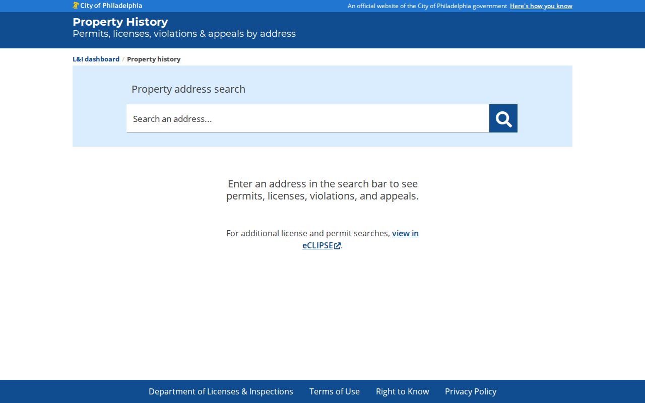
The L&I screen reinforces the address-first method: begin with the exact property, then read the record type and dates in context. A name in a permit, license, or violation can belong to an applicant, contractor, organization, agent, or owner, so it is not a household finding by itself.
For public business-license context connected to a location, eCLIPSE offers fields such as Business Name, Address, Location, License Number, type, status, and date ranges.
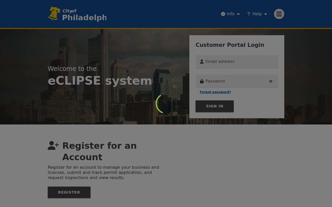
The eCLIPSE interface can corroborate a City license at a named location, but it should not be used to assign a residential address to a person. For deeper permit copies, L&I describes a counter and records route, with record copies and plans subject to its stated access rules.
Philadelphia Street Numbering Clues
Philadelphia’s street grid is a real search constraint. City engineering standards name Market Street as the north and south divider and Front Street as the east and west divider. Preserve directional prefixes and hundred blocks when the record uses them. Germantown Avenue north of Windrim, creek areas, and diagonal streets have exceptions, so a dropped prefix can send a search to the wrong place.
The Historic Streets Index searches historic and current names and presents the associated change list. It draws on City Archives road records, docket books, jury decisions, and surveys. This is the proper bridge when an old street label does not appear in the current property tool.
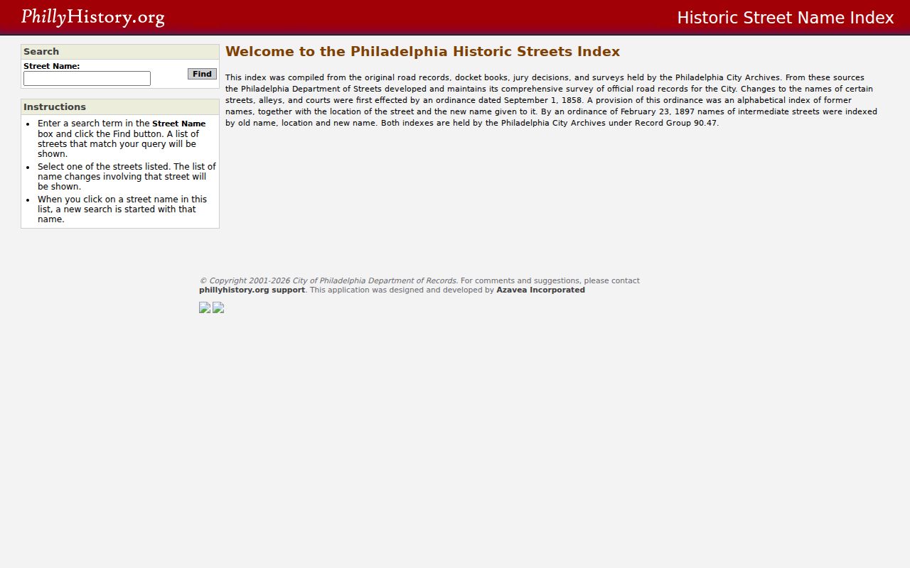
The index is more useful than guessing from an old map because it links a historic or current label to documented change information. Write down both forms rather than overwriting the older address in the research notes.
Philadelphia Street Directory Name Changes
Historic address work can fail even when the household was listed. The 1854 consolidation created a numbering break reflected in City historical documentation, and the Free Library's 1898 and 1910 city directories include tables that convert old street names to newer ones. A researcher should preserve the address exactly as printed, then test the documented current form in OPA or Atlas.
For a street directory trail, use the Historic Streets Index first, then the conversion table from the directory year when available. The same property may have an old number, a post-consolidation number, a current street name, and a legal-description or map identity. Treat those as links to verify, not as interchangeable text.
Note: A historic directory’s cover year often reflects the prior year, so record its publication date beside the address form.
Philadelphia Street Deed Route
After the parcel and recent sale clue are in hand, the Department of Records Philadox entry is the modern land-record route. Its documented online search covers deeds and other property records from 1974 to the present. It provides document information and watermarked views online, while printing and certain access depend on the stated subscription options.
Read the deed as a title record. Capture the document number, recording date, grantor, grantee, and legal description, then compare those facts with the selected OPA parcel. Recordings can take two to four weeks to appear. For a known reference, the Reading Room at City Hall Room 154 and the Department's copy channel at 215-686-2292 or deedcopy.info@phila.gov provide alternatives to a thin web result.
Older land research changes channels. City Archives lists deeds from 1683 to 1955 and mortgages from 1736 to 1963. A historical holding does not promise a keyword-searchable image, so use party names, date, deed series, book and page, plus the legal description when asking for archive help.
Philadelphia Street Directory Reverse Listings
The Free Library directory guide identifies the address-first sources that make a historical street trail possible. Address telephone directories cover 1927 to 1969. Cole's Cross Reference and Reverse Directory covers 1973 to 2007, with a later print run from 2009 to 2020 described by the Library. Cole's orders streets alphabetically and addresses numerically, usually with a listed name, phone number, and length at the address.
Those listings are not complete household counts. They describe the publisher’s listing and phone-subscriber context, so an unlisted person may not appear. For a fuller explanation of the volumes, publishers, and yearly gaps, see the Philadelphia city directory collections. Here, the key move is address to historical listing, not a broad name search.
Search adjacent volumes and preserve the exact street spelling. The Library also notes gaps in its historical directory holdings, including 1928 and 1931 through 1934. A gap is a reason to consult another holder or a different source, not evidence that a household was absent.
Philadelphia Street Record Limits
A property map is not a directory of every person on a street. Owner of record is not necessarily an occupant, and individual voter status is not a public block-browsing tool. Protected Address Confidentiality Program participants, driver information, private utility or delivery accounts, sealed matters, and many personal identifiers remain outside a public address trail.
Where a City-agency record is not available through its normal portal, the Pennsylvania Office of Open Records form guidance and Philadelphia's Right-to-Know process can explain the request route. The RTKL does not override exemptions or turn protected address data into public material. City policy requires a written, non-anonymous request and sets a five-business-day response baseline unless an extension applies.
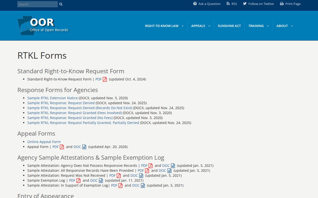
The request process is a fallback for a specific City record, not a shortcut around privacy rules. Check the originating custodian and the exact record category before making a request.
Lawful use. Philadelphia street records support personal property research, family history, civic questions, and fraud verification. Do not use an address trail to stalk, harass, intimidate, or harm another person; Pennsylvania law prohibits harassment and stalking.